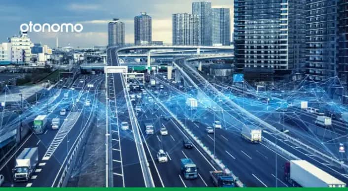
With 55% of the world’s population living in urban areas, traffic congestion has become an increasingly dramatic problem for municipalities. The UN reports that this figure will skyrocket to 68% by 2050, and cities need to be ready with practical traffic solutions. Smart Cities are offering long-term visions for managing traffic, both by optimizing transportation logistics and reducing congestion. Connected Car data, along with other traffic data sources, is revolutionizing traffic management in urban areas in several ways.
Reducing Traffic Congestion
Real-time traffic data can power algorithms used by municipalities to manage traffic congestion by optimizing road logistics and routes. This can cut commuting time in cities by 15-20%, according to a McKinsey Study. Data can be used to prevent congestion through intelligent synching of traffic signals, prompting variable speed limits, and providing drivers with real-time alerts advising the fastest routes.
Parking
Research shows that up to 30% of a city’s traffic is attributed to people looking for parking. Real-time traffic data from connected cars has several parking applications, including intelligent parking planning, open space detection, and automated payment. Smart parking solutions mean that fewer cars are circling the block searching for parking, keeping traffic running smoothly.
Safety and Emergency Situations
Car accidents, inclement weather, and emergency situations have major impacts for drivers, and ultimately increase traffic congestion. Big data from connected cars can help cities to predict car accidents and reduce fatalities. Implementing adaptive signaling, varying speed limits, and sending alerts to drivers can mitigate dangerous situations to prevent accidents. Faster emergency response can help curb traffic jams by quickly clearing hazards.
Waycare, an Otonomo partner, offers a platform focused on using real-time traffic data for emergency situations, was commissioned by the Nevada Highway Patrol to improve accident identification, response times, and better cross-agency collaboration. The result was a 17% reduction in traffic accidents, and 12 minute faster response times to incidents.
Transit Planning
Smart cities are investing in tech to help mass transit run more effectively, increasing ridership and keeping traffic in check. Big data not only enables cities to plan the most efficient routes, it can also keep the system running smoothly, further reducing traffic congestion. Real-time traffic data can be used to alert riders and transit workers of delays and update arrival times.
Urban Planning
Planning for the future of urban areas is key to ongoing traffic management. Large urban areas, like the San Francisco Area, are tapping into big data to plan further infrastructure and development that will mitigate congestion. Analysis of historic traffic data can help growing cities to map more efficient road systems and plan better zoning with the help of location intelligence.
Connected car data is also an asset in temporary urban policies. Tactical Urbanism is a strategy employing dynamic, interim measures that promote active travel. Planning such measures, including those implemented during the Covid-19 crisis to ease air pollution, depend on connected car data insights for efficient implementation.
Interested in Traffic Management?
If you’re building apps or services that could benefit from traffic data, we’d love to hear from you. Contact us.
Learn more by downloading our traffic datasheet.


