
The global digital mapping market is expected to double by 2023. This is driven by a need for more accurate, intelligent location mapping services, an increase in the use of smartphones for navigational purposes, and the arrival of integrated value-added services such as parking or user-reservations.
Connected vehicle data is a huge opportunity for mapping, navigation and routing companies who are building digital streetmap applications to meet these needs. Here are some examples of how the right data can come together to create the next generation of street-mapping for street map apps.

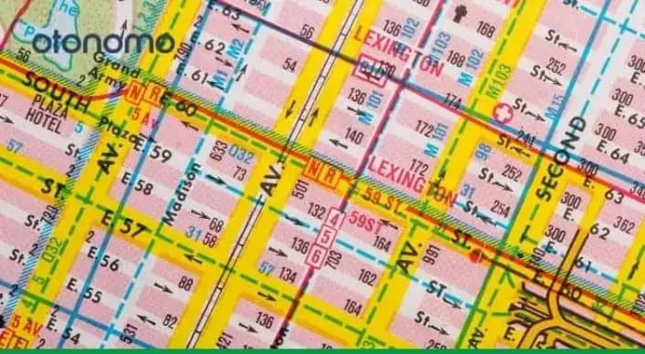
Enhancing Traffic Data By Going Further than Floating Car Data Alone
The ability to quickly get information on the fastest real-time routes, including taking into consideration accidents, roadworks, and delays has become an essential part of street-mapping applications for vehicles on the move.
This often starts with Traffic Data also known as Floating Car Data (FCD), the foundational layer of vehicle data, which is simply put, a location-stamp of a vehicle at a specific moment in time. However, FCD works best when you can augment it with additional layers of data. With this capability in place, the basic FCD can be enhanced by additional data streams like weather, hazard, vehicle health, construction equipment, and road sign data.
By gathering data from numerous sources, cleansing and benefiting from it as a single source, enables a variety of use cases, such as:
- Stakeholders accessing information about seasonal or one-off events, for example a large sporting event or a concert, accurately recognizing the cause for congestion.
- Planning ahead with real-time information such as new signs that highlight road closures, construction work, or temporary traffic lights.
- Integration with business intelligence tools to utilize trends and historical data, such as average or maximum speeds.
- Dynamic maps that can be enhanced and updated in real-time, providing a real ‘living’ view of roads and areas in real-time.
As a result, you begin to get a real picture of the dynamic nature of any given location and the vehicles involved.
Gaining Layers of Understanding into a Specific Location
Of course, maps are about more than just getting from A-B. Think about the research that people complete when they’re thinking about a new area, whether that’s visiting for the day, planning a vacation, opening a new branch of their business, or organizing a more long-term move. Traditionally, the value of a map might stop at whether there are good public transport options within walking distance, or a hospital within a certain radius.
Connected vehicle data can be utilized to provide a deeper level of information into a location, looking at how long vehicles stay in the area, and where the most popular spots might be. For a daily visitor, this could answer where a hidden gem is located for a quick lunch, while for a businessperson it might highlight the validity of a new commercial enterprise. For government and planning associations, the traffic and flow information can be invaluable for opening up conversations about construction, transport, and road maintenance.
Road-Safety Front and Center
Dynamic maps also have the opportunity to improve road safety, and reduce the number of incidents that impact today’s drivers, pedestrians, and cyclists. Maps could integrate with BSM (Basic Safety Messages) or crowdsourced mapping data directly from connected cars, to warn about unexpected hazards, cars broken down at dangerous intersections, or even lane closures ahead of time. As connected vehicles can send data as granular as turn signalling or gear handling, this can quickly allow other drivers and stakeholders to get an accurate view of a situation up ahead on their route.
In inclement weather, connected vehicle data can also allow street-mapping applications to provide accurate information to drivers. For example, a heavy snowstorm is dangerous for drivers no matter what, but post-blizzard, which roads have been gritted or are clear, and which still present challenges because of ice or even black ice? Connected vehicle data answers these questions with accuracy and speed, unlike meteorological data alone.
Value-added Services
The more dynamic and interactive your street-map application, the more likely your users are going to buy into its use. For example, street map apps can integrate payment solutions that allow users to pay for parking directly from the map. This eliminates the hop between navigation and parking applications, and streamlines two journeys that often go hand in hand.
Connected vehicle data opens doors for businesses looking to create partnerships or value-added services from within their digital maps. Think about a street map that shows the dealerships that can provide support immediately when you get a flat tire or need emergency maintenance, for example, or one where you can see from a single map your expected deliveries from any given retailer, and follow their last-mile logistics to your door.
Imagine a feature where your street map app could suggest relevant leisure or places to stop off en-route a long journey. This could be based on your preferences as shown from your in-car infotainment center activity. While this may have felt futuristic just a few years ago, today, it’s just a smart integration and the right dataset away.
Otonomo Knows Data
At Otonomo, our rich, harmonized, aggregated data makes it faster and more accurate for stakeholders to access, analyze and benefit from connected vehicle data for a wide range of business use cases.
By pulling information from dozens of vehicle sensors, both internal and external, we can support your business in creating street map apps that offer real-time support to drivers, better services to residents, layers of insight to business owners, and the best possible chance of safety for all.
Ready to discuss your data-related requirements? Talk to one of our experts, or download our ebook on evaluating traffic data.