Accurate weather and traffic hazard data from connected cars offers a compelling value proposition for road safety and traffic management. Governments and transportation software and service providers can now utilize this aggregate data in near real time from the Otonomo Platform. The data, which is generated by multiple sensors within a connected car, enable crowdsourcing methods to let drivers, road safety crews, emergency services, and other public agencies know about potentially dangerous conditions on the road and road accident predictions.
Heavy Rain
In the United States alone, approximately 5,000 people are killed and 418,000 people are injured each year due to wet-weather crashes. Heavy rain is particularly dangerous, so it’s incredibly valuable to warn drivers in advance via their infotainment system or navigation apps. Public agencies and toll road operators could also automate risk mitigation steps such as dynamic signage, metering lights, traffic signal timing, speed limit controls, or road treatments in extreme cases.
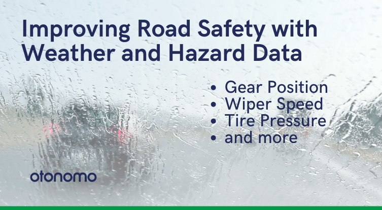
Indicators of heavy rain come from multiple sensors:
- Headlight settings
- Windshield wiper speed
- Wiper level
- Rain intensity
Dense Fog
While less common, dense fog is also a factor in crashes. Transportation leaders are especially concerned about its role in multi-vehicle pileups. Similar to heavy rain, risk mitigation steps could include in-car driver warnings, automated changes to dynamic signage, metering lights, and traffic signal timing, or speed limit controls.
Fog information comes from several headlight sensors, including whether the main headlights are on or off and whether front or rear fog lights are on or off.
Vehicle Breakdowns
A stalled vehicle, especially in the flow of traffic, can cause both slowdowns and serious accidents. This traffic hazard data is available from connected cars, indicated by:
- Door status (whether a door is open, and if so, which one)
- Gear position (Park, Reverse, Neutral, Drive)
- Turn signals on
- Hazard lights on
When combined with precise geolocation data, any of these indicators could uncover a vehicle that has broken down and is potentially impeding traffic.
Abnormal Acceleration and Braking
Traffic management teams may interpret en masse braking or the acceleration of many drivers at a particular location as an alert to potential hazards, accidents, or dangerous road conditions ahead.
De-identified Data for Crowdsourced Insights
While weather and hazard data must be managed as individual data points and combined with location data to be actionable, all such data in the Otonomo Platform is in de-identified form, to protect driver privacy. Data is available from cars in more than 10 countries.
Safer Data Collection
Today, some navigation apps use driver-reported data to identify hazards. This requires drivers to take a hand off the wheel and their eyes off the road at the exact moment that driving is more dangerous. Collecting data that’s automatically generated by the car is much safer and more reliable, since as it is automated and not reliant on user compliance.
Interested in Weather and Hazard Data?
If you’re building apps or services that could benefit from weather and hazard data, we’d love to hear with you.
Learn more by downloading our datasheet.